The Hidden River: Did South Korea’s Maps Intentionally Erase Ryesong River to Bury North Korea's Nuclear Leak?
Eun Bin Shin
Kakao Map (left) showing the lower reaches of the Ryesong River near Pyeongsan County, North Hwanghae Province, North Korea, and Naver Map without the marking (Capture from respective maps) / News1
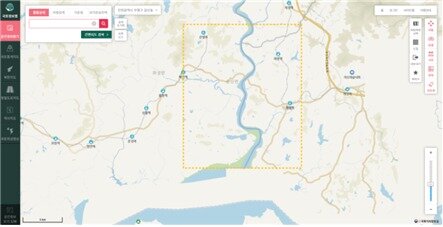
The National Geographic Information Institute under the Ministry of Land, Infrastructure and Transport displays the lower reaches of the Ryesong River in North Korea on its national internet map / Provided by the National Land Information Platform
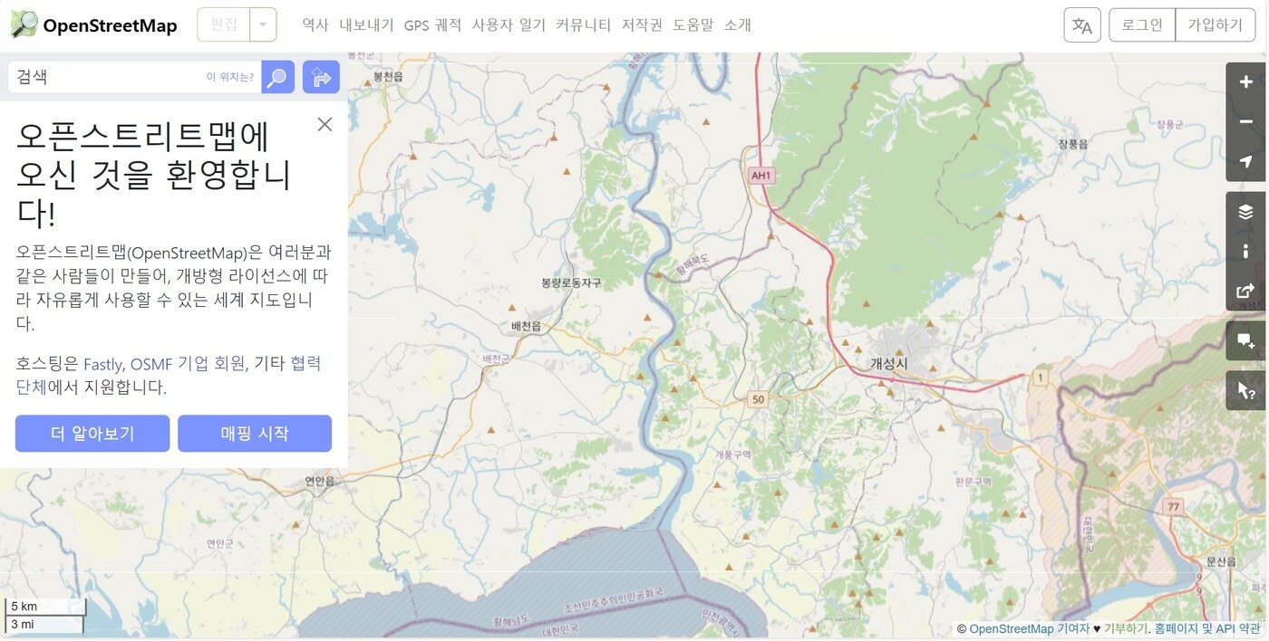
The lower reaches of the Ryesong River in North Korea as shown on OpenStreetMap (OSM) / Capture from OSM